|
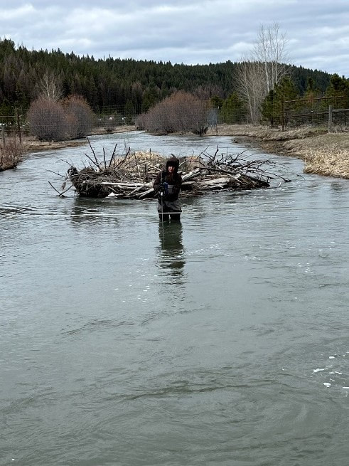
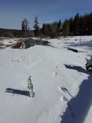
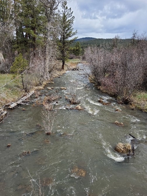
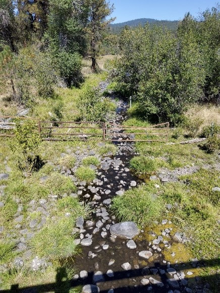
By Javan Bailey (North Fork John Day Watershed Council) Every March since 2014, staff from the North Fork John Day Watershed (NFJDWC) have braved the snow and ice in order to deploy level loggers at discharge stations. The purpose of these sites is to record hourly water levels which are translated by rating curves to stream flows. As of 2022, funding provided through OWEB and the National Oceanic and Atmospheric Administration’s Pacific Coastal Salmon Recovery Fund (PCSRF), has enabled the monitoring of 13 discharge stations in the upper MFJDR and select tributaries from March through October. While not as robust as an established USGS or OWRD gauging station, our discharge sites provide researchers and restoration practitioners with useful, localized flow information. Data from these gauges can be used to help answer questions concerning the flows at which floodplains are inundated, the timing and duration of peak and base flows, and how restoration may impact these conditions. Changes in the timing and/or magnitude of flows potentially have consequential ecological impacts on biological conditions such as the timing of emergence and availability of water during summer flows. Photo Credit: Javan Bailey (NFJDWC) Manual flow measurement on the MFJDR below Vincent Creek using a Hach FH 950 flowmeter. A raccoon visited our discharge station at Camp Creek prior to level logger deployment. High flows in Camp Creek – April 2022 Low flows in Camp Creek during the summer of 2021.
0 Comments
|
IMW News Updates
Archives
September 2022
Categories |


 RSS Feed
